


23 09 12 les bondons

jmbilger
User


Length
1.9 km

Max alt
1216 m

Uphill gradient
39 m
Km-Effort
2.5 km

Min alt
1171 m

Downhill gradient
52 m
Boucle
No
Creation date :
2023-09-12 08:48:59.0
Updated on :
2023-09-12 09:50:28.178
38m
Difficulty : Unknown

FREE GPS app for hiking
 SityTrail
IGN / Geographical institutes
SityTrail Plus
The world is yours!
About
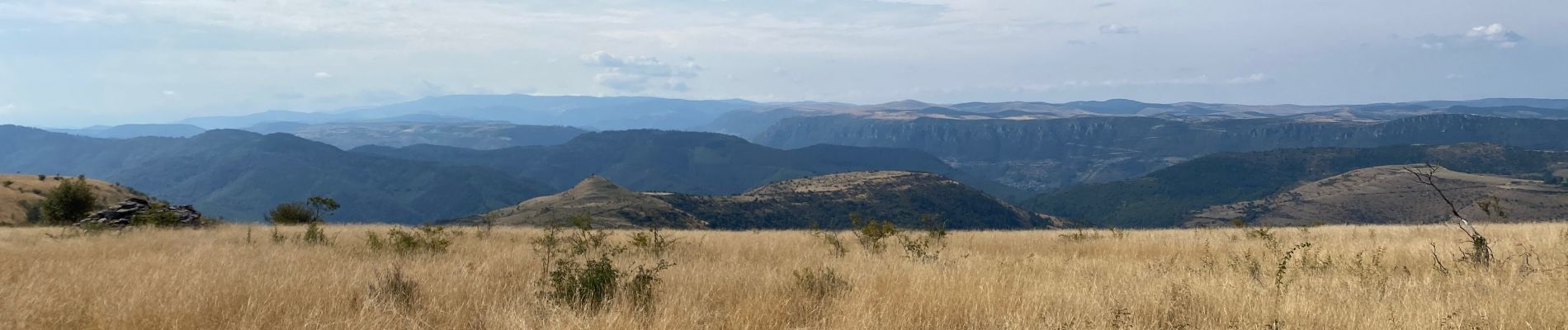
Trail Walking of 1.9 km to be discovered at Occitania, Lozère, Les Bondons. This trail is proposed by jmbilger.
Photos

Positioning
Country:
France
Region :
Occitania
Department/Province :
Lozère
Municipality :
Les Bondons
Location:
Unknown
Start:(Dec)
Start:(UTM)
551539 ; 4917219 (31T) N.
Comments